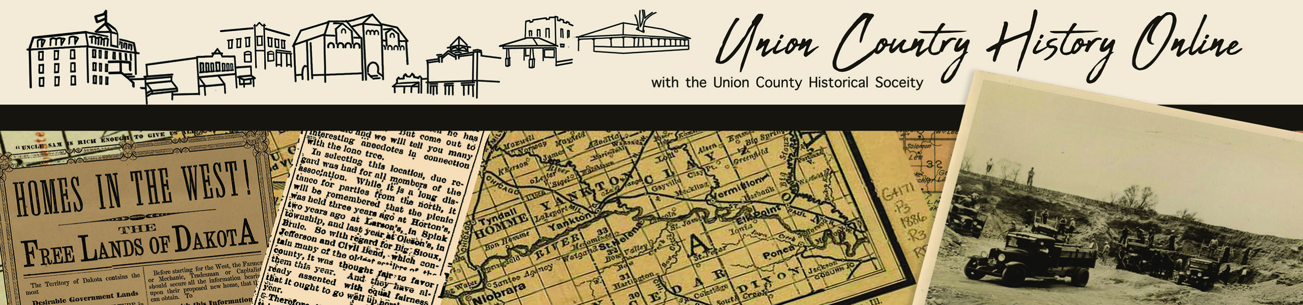
Counties
- Clay County
- Cole County
- Dakota County (Nebraska)
- Dixon County (Nebraska)
- Lincoln County
- Plymouth County (Iowa)
- Union County
Townships
- Alcester Township
- Big Sioux Township
- Big Springs Township
- Brule Township
- Civil Bend Township
- Elk Point Township
- Emmet Township
- Jefferson Township
- Prairie Township
- Quincy Township
- Richland Township
- Sioux Valley Township
- Spink Township
- Virginia Township
Roadways
- Old Government Road
- Old Hwy 77
Decommissioned in SD in 1981, this once major US Highway Route once ran from Texas Minnesota. - Hwy 48

Waterways
- Bayoux (Sec 16, Pleasant)
- Big Sioux River
- Brule Creek (West and East Branches)
- Lake Goodenough
- Lincoln Creek
- McCook Lake
- Mud Lake
- Nixon Lake Sec 10/3 Richland
- Norweigen Lake Sec 34/35 SE Brule
- Union Creek
- Lake (Sec 5, Jefferson)
Alcester Train Depot
Arbor Hill
Big Sioux Ferry Crossing
Marked on 1892 County Map, a ferry crossing the Big Sioux River operated just north of the Centennial Mill (due east of Richland in Section 28 of Pleasant Township). A safe place to ford the river is marked a half-mile south of the mill.
Blue Mound
Business Directory – Historic
Cemetaries Located in Union County
Charles Murtha House and Brick Yard
Chicago and Northwestern Railroad Depot
Churches / Communities of Worship in Union County
Civilian Conservation Corp Camp at Alcester
Members of the Civil Conservation Corps (CCC) of Co. 27467, located in Alcester, along with WWI veterans of Co. 4725V worked to improve farming conditions throughout Clay, Union, Bon Homme, and Lincoln counties. In 1937, the men planted 7,050 trees in Union County State Park and established a tree nursery at Vermillion and eventually the organization of conservation districts in all four counties.
First Homestead in Dakota Territory
In response to the 1862 Homestead Act, at 12:01 A.M. January 1, 1863, Mahlon Gore, a printer, filed at the Vermillion Land Office for a claim 3½ miles north, where an arrow marks the spot. It was the first filing in Dakota and probably in the United States. He failed to ‘prove up’ and never got the land. Look for the historical marker located on SD Hwy 50, ¼ mile east of Richland.
Flag Point
Fourteen Mile House
Fourteen miles from Sioux City on what was known as the Military Road (to Ft. Randall) a house was built of logs by Francis Reandeau about 1861. A Frenchman, he and his son, Lyzimon, whose name is carved on one of the original logs, ran the site as a stage stop, tavern, and store for over a decade until the new Dakota Southern Railway came by in 1872. FIND: Union County, Highway 1B, two miles northwest of Jefferson
Fort Brule
Built by settlers and militia on the east bank of Brule Creek north of the town of Elk Creek for protection against hostile and marauding Indians during the Dakota Sioux uprising in 1862. The fort was abandoned in 1868 after the danger had passed and dismantled in 1873. A granite monument is erected at the site.
Grasshopper Crosses
In May of 1876, Father Pierre Boucher led a pilgrimage of both Catholic and Protestant settlers on an eleven-mile pilgrimage seeking Divine intervention in the grasshopper plague. They placed 3 crude crosses surrounding the area that encompassed their homes. Their prayers were answered and the grasshoppers left. Historical markers are placed at the location of each of the three crosses placed by the pioneers. Look for markers located (1) along old US 77 2 ½ miles west of Jefferson (2) west of Elk Point (3) near St. Peter’s Church in Jefferson.
Junction City / The Junction
Kate Sweeny Bend
Nora Store
Postal Services in Union County
Riversioux Park
Railroads
- C.M. & St.P.
Sam Eidem House (Giants of the Earth Country)
Schools, Union County
Sioux Bridge
Sioux River crossing was located south of the ice houses in 1892.
Towns and Communities
Sioux Point
Our list includes both current cities and townships, as well as historically extinct or replaced communities. These communities may have arisen out of other social affiliations (churches, schools) or even nationality.
Spink Center /Store / Cafe
Steckman Brickyard
A map of Union County pubished din 1892 shows this service located on section 22 of the Elk Point Township
St. Peter’s Convent (Jefferson)
Twelve Mile House
A well-known stopping point for westward stages, ox teams, and travelers, this log-built roadhouse was located twelve miles from Sioux City and run by Desiree Chausee. It became the site of the Willow Post Office in 1864, and then the Adelescate Postoffice in 1869. FIND Union County, 105 – 1/10 mi south of Jefferson.